We discussed the chronology of the area one day at Highwood Mill and it makes sense to archive this material with the stone. The landscape around is a palimpsest, like a manuscript on which later writing has been superimposed on effaced earlier writing; something reused or altered but still bearing visible traces of its past.
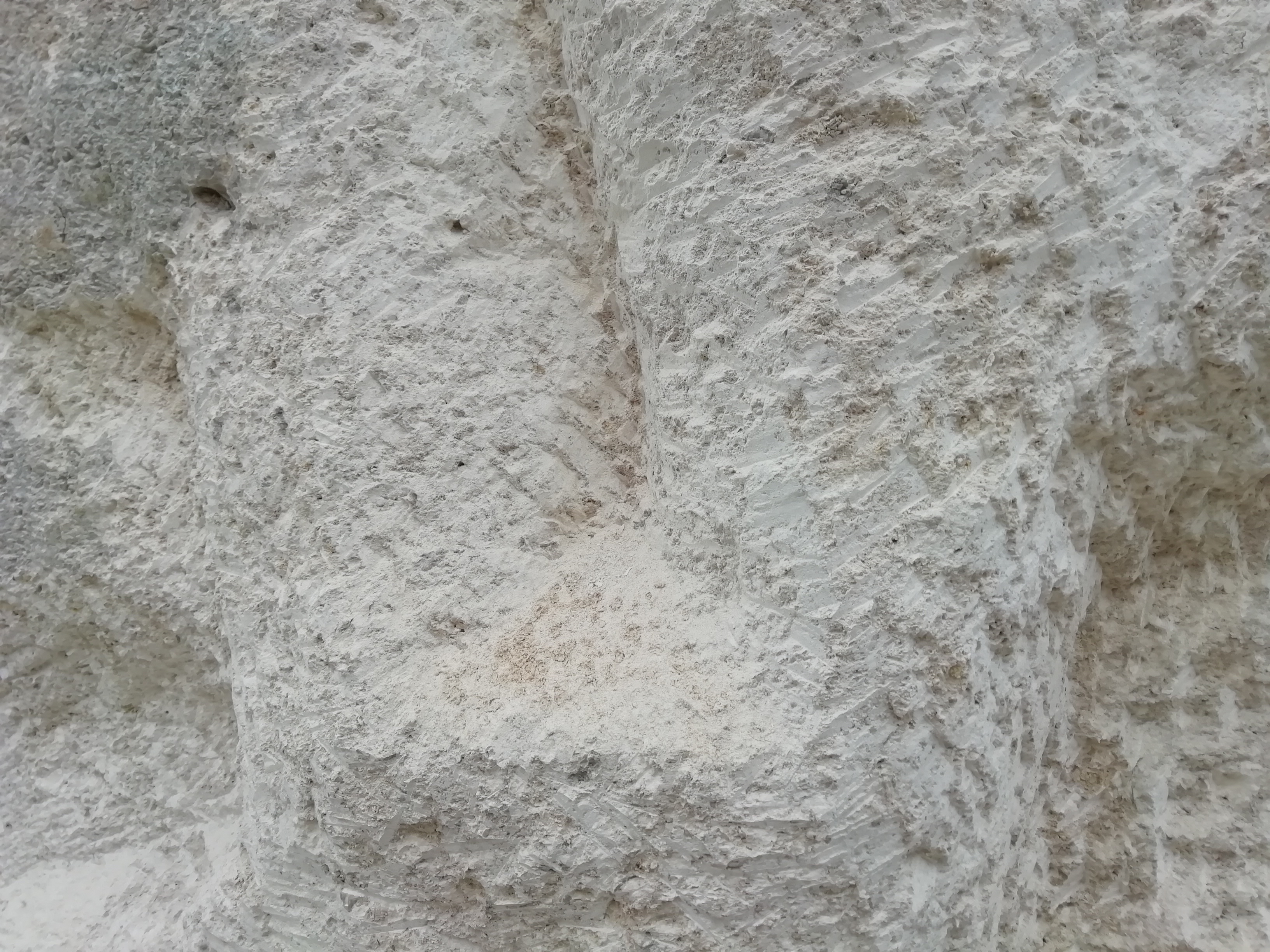
145 million years ago – the end of the Jurassic period – when our Portland stone was laid down – a little earlier than the softer Sussex chalk.
100 million years ago – sea levels 250m higher – highest of South Downs peaks would have been little islands in the sea; Cissbury Ring underwater (warmer seas, less ice, more water in oceans)
60 million years ago – chalk formation from sea muds complete
130,000BC – last time the sea level was as low as today
20,000 BC – LAST GLACIAL MAXIMUM water levels 130 metres lower as a result of evaporation and transfer into the Laurentian Ice sheet
a time of the land bridge between East Anglian and the Netherlands/Germany “Doggerland” (and what is now Dogger Bank on the shipping forecast)
14,000 BC – start of rebound; Britain becomes an island again as waters rise
up to 10,000 BC PALEOLITHIC which lasted from about 2.6 million to about 10,500 years ago. Because of the simple, large tools used, this era is also called the Stone Age. Water level higher – we had raised beach up to Slindon/Boxgrove on the Downs at that time.
6000BC MESOLITHIC occupation – the end of the stone age – smaller lithic tools and weapons – microliths
occupation shown by presence of worked (or remains of) flint clusters – Wickhurst area
MIDDLE IRON AGE 400-200 BC “BEFORE CHRIST” (NOW “BCE” standing for BEFORE COMMON ERA)
1. occupation show by post hole remains and circular walls of hut circles (“dispersed farmsteads”)
2. circular hedge line around the base of High Wood COULD date from this time – a wealden oval enclosure started out as simple hedged bank and ditch
3. pollen analysis of remains
4. funereal remains/pots
LATE IRON AGE – to 25 AD- ish
“AD” NOW REPLACED BY “CE” COMMON ERA
100-200 AD Roman IRON The Wealden geology of sands and clays yielded the iron ore, as well as the stone and brick to build the furnaces; the woodland provided the charcoal fuel; and the numerous small streams and valleys ensured water power for the bellows and hammers of the forges and furnaces. In the first two centuries of the Roman occupation the Weald was the main iron-producing region in Britain.
1st-4th Century ROMANO-BRITISH – could drove roads date back this far? No evidence.
8th Century – Wic hurst as a settlement linked to Sullington parish – grazing land linked by drove roads
10th Century NNE-SSW orientated fields formalised, based around drove roads connecting the coast with the damped lands of the Weald
“early MEDIEVAL” 750 -1175
11th Century – (Old) Wickhurst Lane in use
13th Century – Stammerham Farm – to the north of the railway
14th Century – Farthings (formerly Farthingbridge) Farm
15th Century – Parthings Farm land where Highwood Village sites
Tudor and early-Stuart times – the Weald was again the main iron-producing region in Britain
“late medieval” 1175-1550
1500s FULLING MILL – for mechanical cleaning of simple cloth with Fullers Earth
identification from presence of pond and constriction; channel sediments in sectional cut ditches
ridge and furrow remains
1724 Budgens Map of Sussex – shows the curved Five Oaks-Farthings Hill road respecting former boundary
1760s HILLS PLACE – Capability Brown landscape
1820 – landscape lost and back to farmland
1840s TITHE MAPPING – gives field names which reference earlier stages of history
1848 – railway and Horsham station initially connection from Three Bridges
1850 – Broadbridge Mill – flour production
1861 – rail connection to Shoreham
1862 – Horsham rail connections to Dorking, Leatherhead and London Victoria
1865 – rail connection to Guildford
1896 Warnham Brickworks, which before 1909 moved east of the railway; houses for brickworkers were built near the station by 1896, and by 1909 there was a row of ten. The Warnham brickworks too were much enlarged in the 20th century. In 1903 the Sussex Brick & Estates Co. was formed to take over the Warnham brickworks, and in 1907 it took over the Southwater firm as well.
1902 – Christs Hospital School – occupying much of the fromer Stammerham
1930s – memories of new Farthings farmer daughter – stock brought by train from Devon
1940s – River Arun much higher as weir/waterfall at base of High Wood to allow leat for the Broadbridge Mill
1939-45 SECOND WORLD WAR
postwar, Arun water level lower as weir in disrepair and mill not in use
1950s A24 road bisects landscape
1962 the Warnham brickworks, output was the largest in south-east England, employed c. 300 men
into 2010s development starts – allowed the archaeological investigation of Wickhurst Green as well as the eastern side of the A24
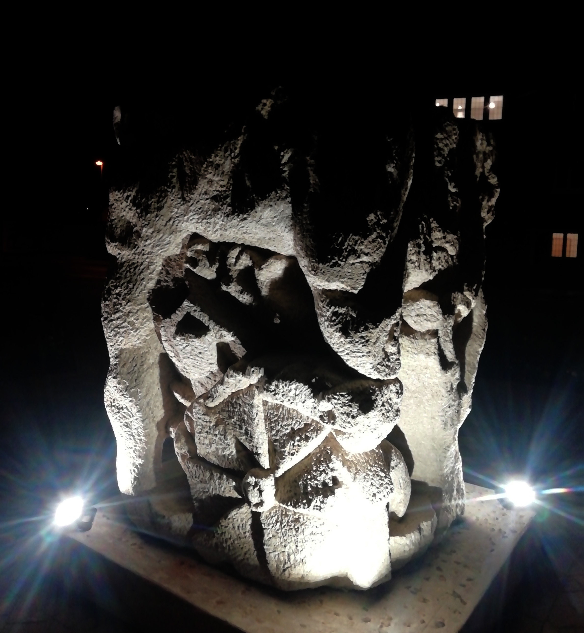
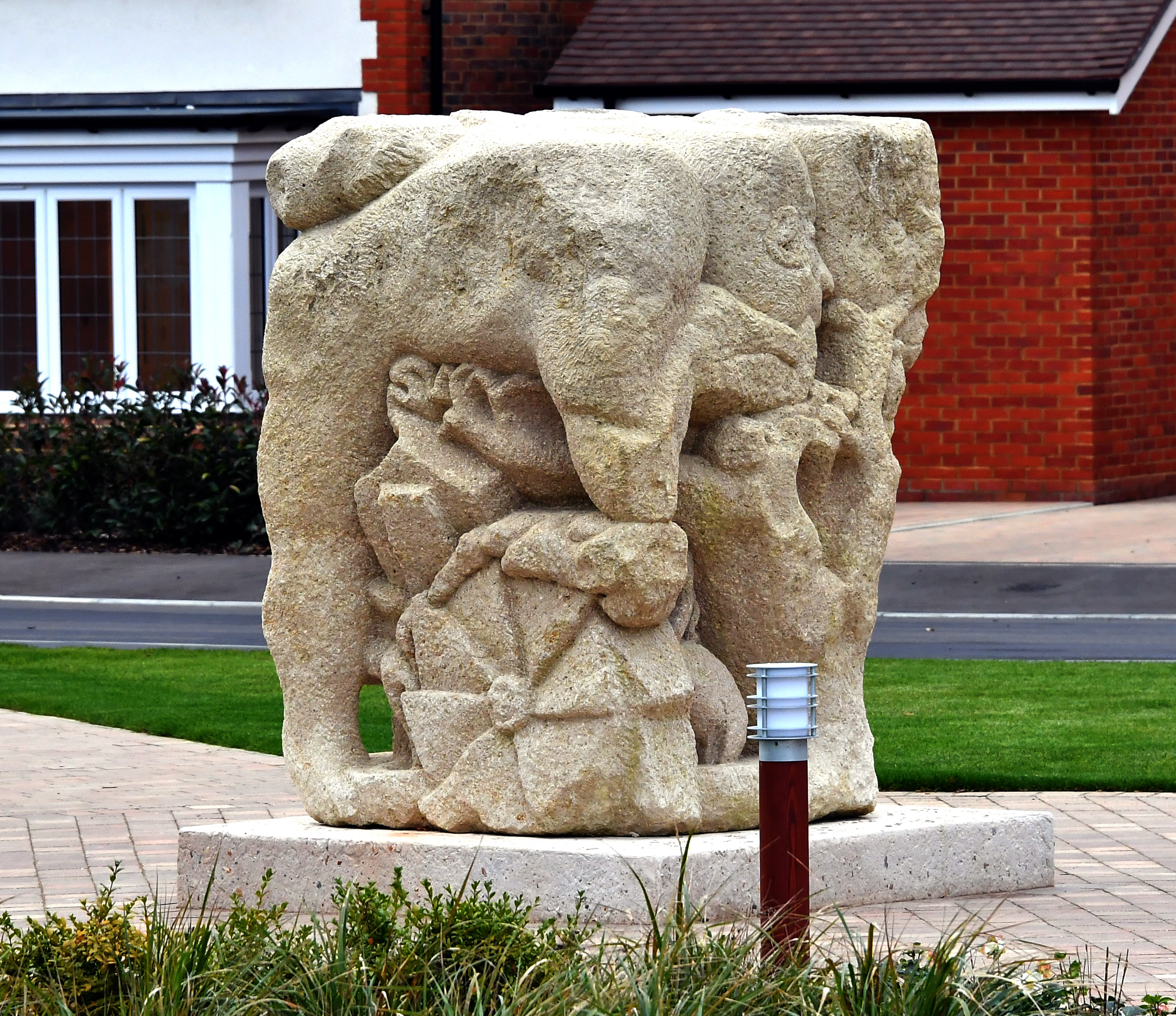
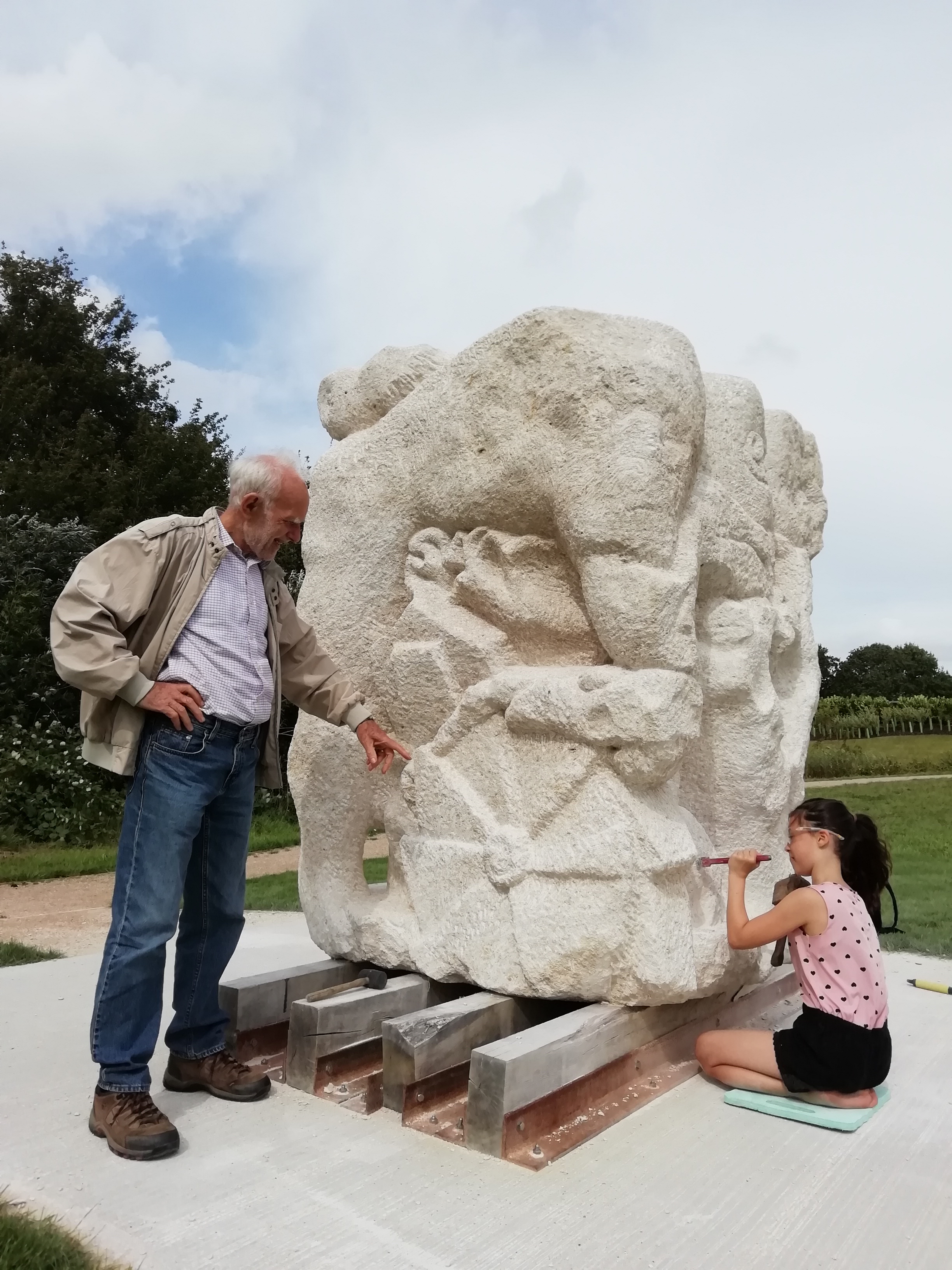
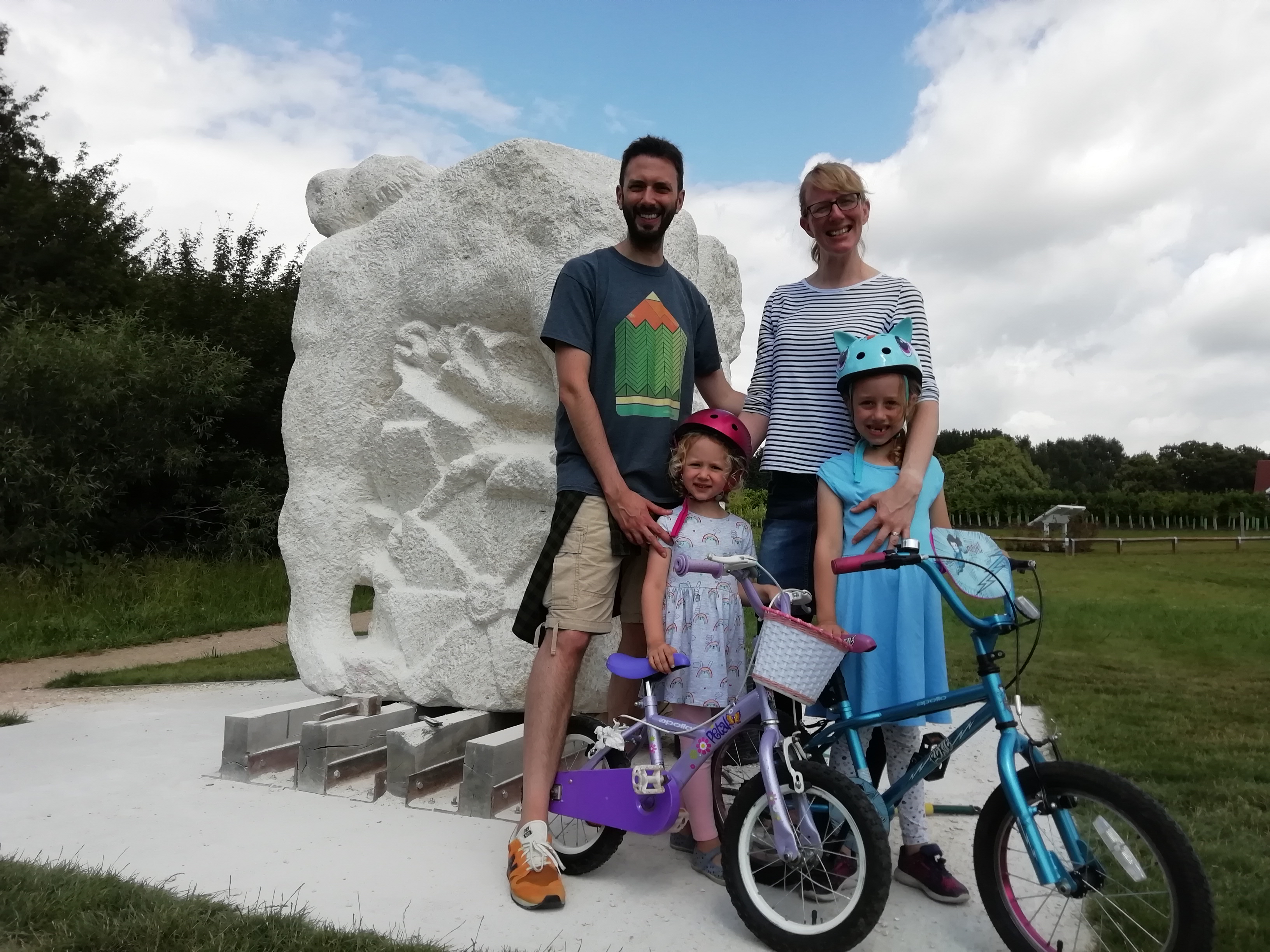
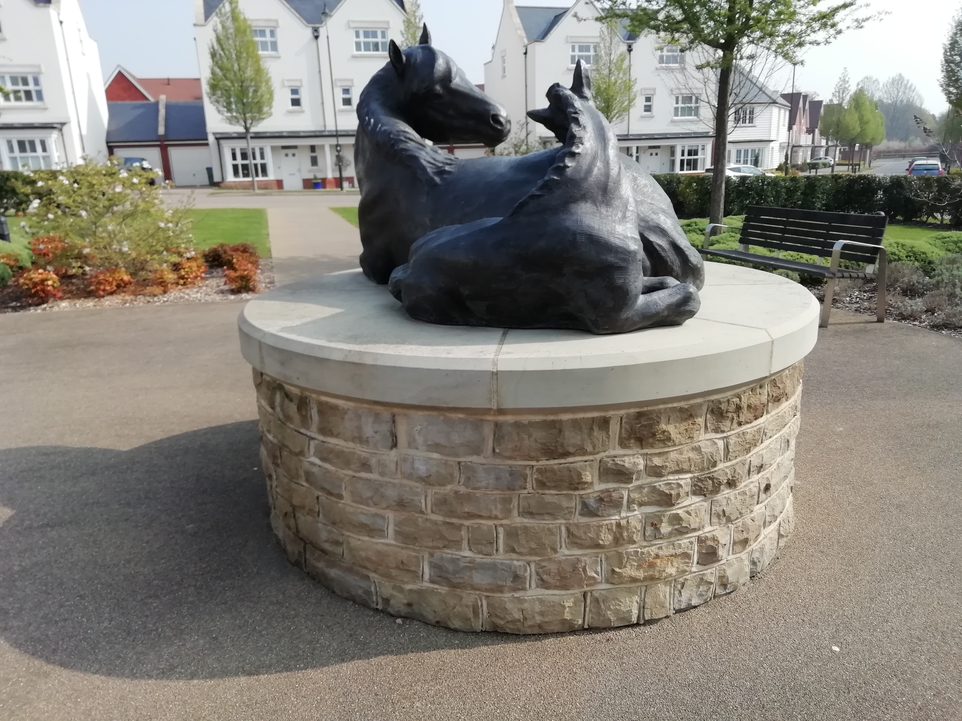
2019 Highwood Village community occupation begins – with the historic oaks through the Village and the Fulling Mill site on the other bank signifying the oval enclosure boundary that may date back 2500 years. Our sculpture, Fluvius, nods to the occupation of the Wic hurst, and all the sculptors’ presence amidst both the historical and the birdlife of the Arun flowing tight around the base of High Wood.


 Three well-considered names in already; keep them coming! All are important for the evolving of the sculpture and how you personally see it and its story, even though we will only be able to use one of them.
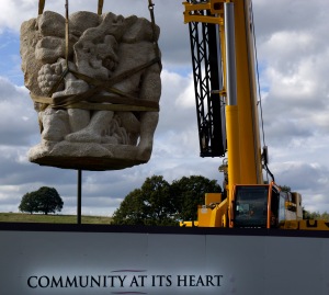 Today, the 100 tonne crane arrived to move the sculpture from the banks of the Arun to the Square which will become the heart of Highwood Village. On Wednesday 23th (note revision) October at 6pm,


 Today some new carvers and established visitors, with one from New Zealand keen to be part of the stone’s progress… but had to leave as tea time beckoned.


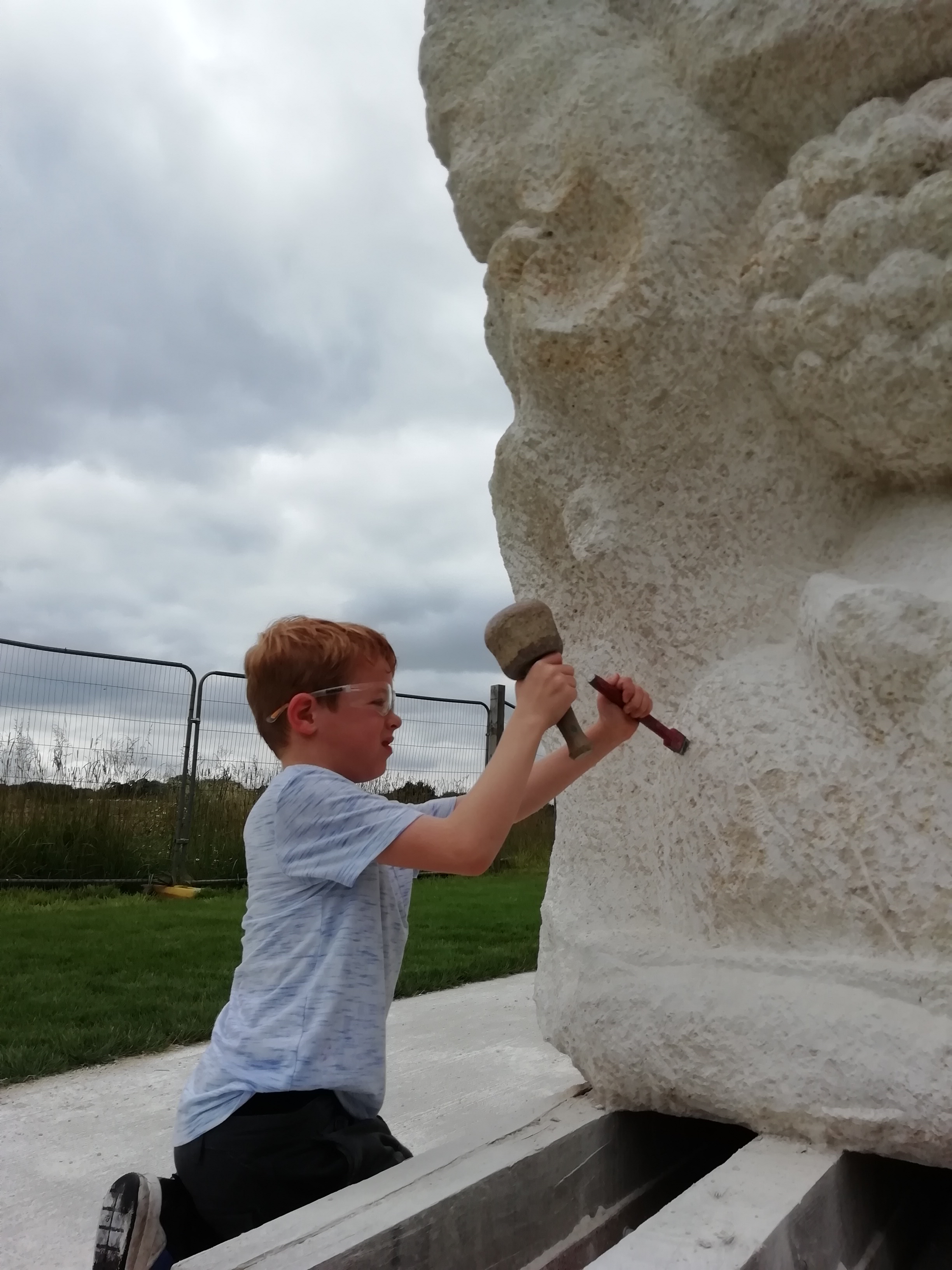
 10 working days to go now! Several new young cycling carvers today visiting from Barns Green as well as a passing European sculptor. Lots appreciative of the emergent approach for our stone.


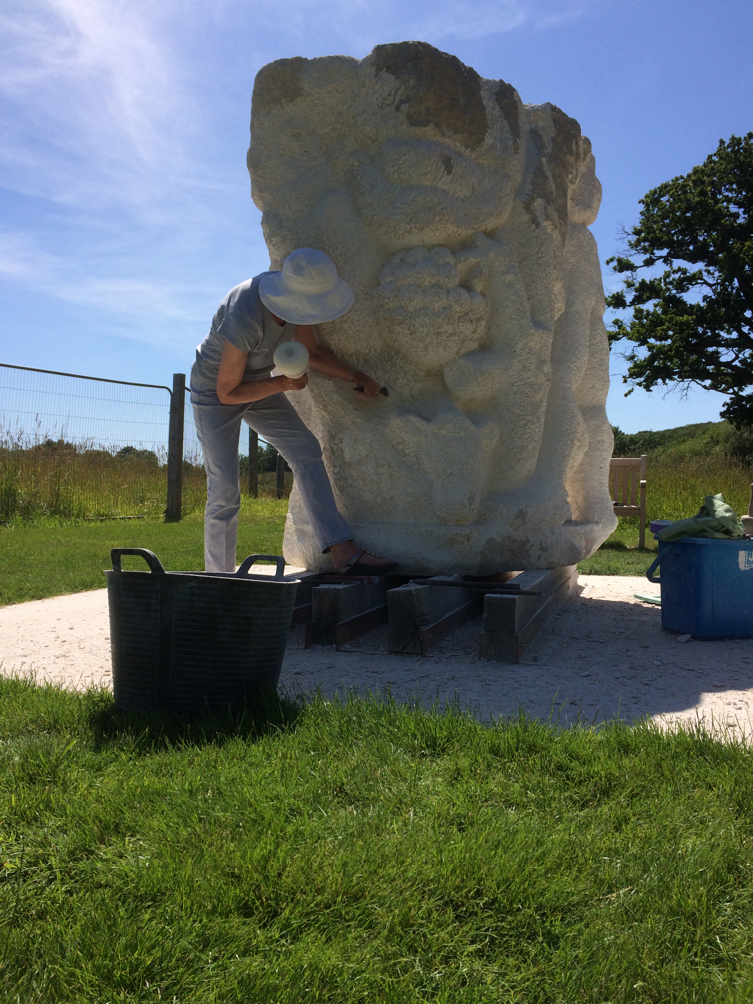
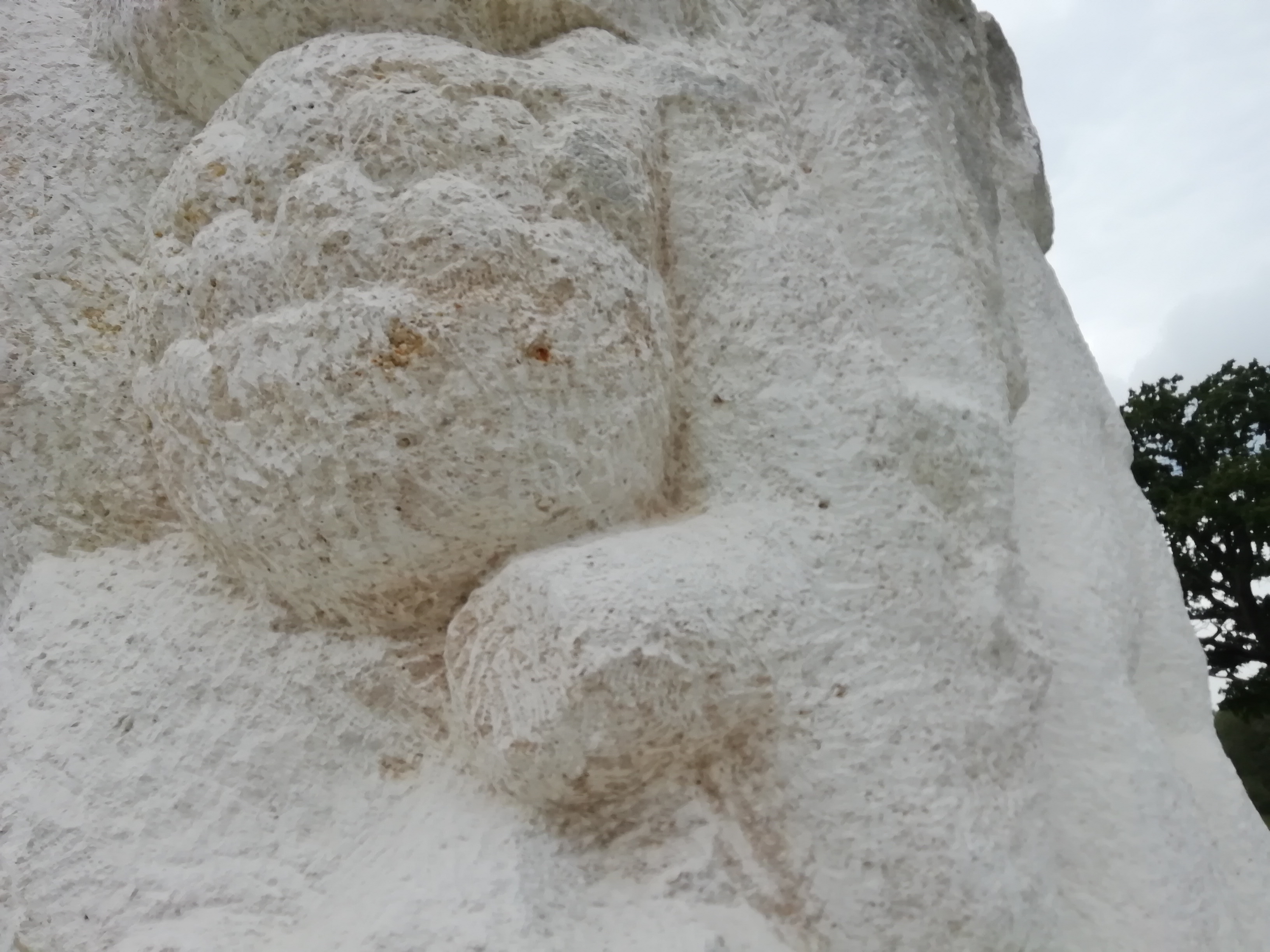
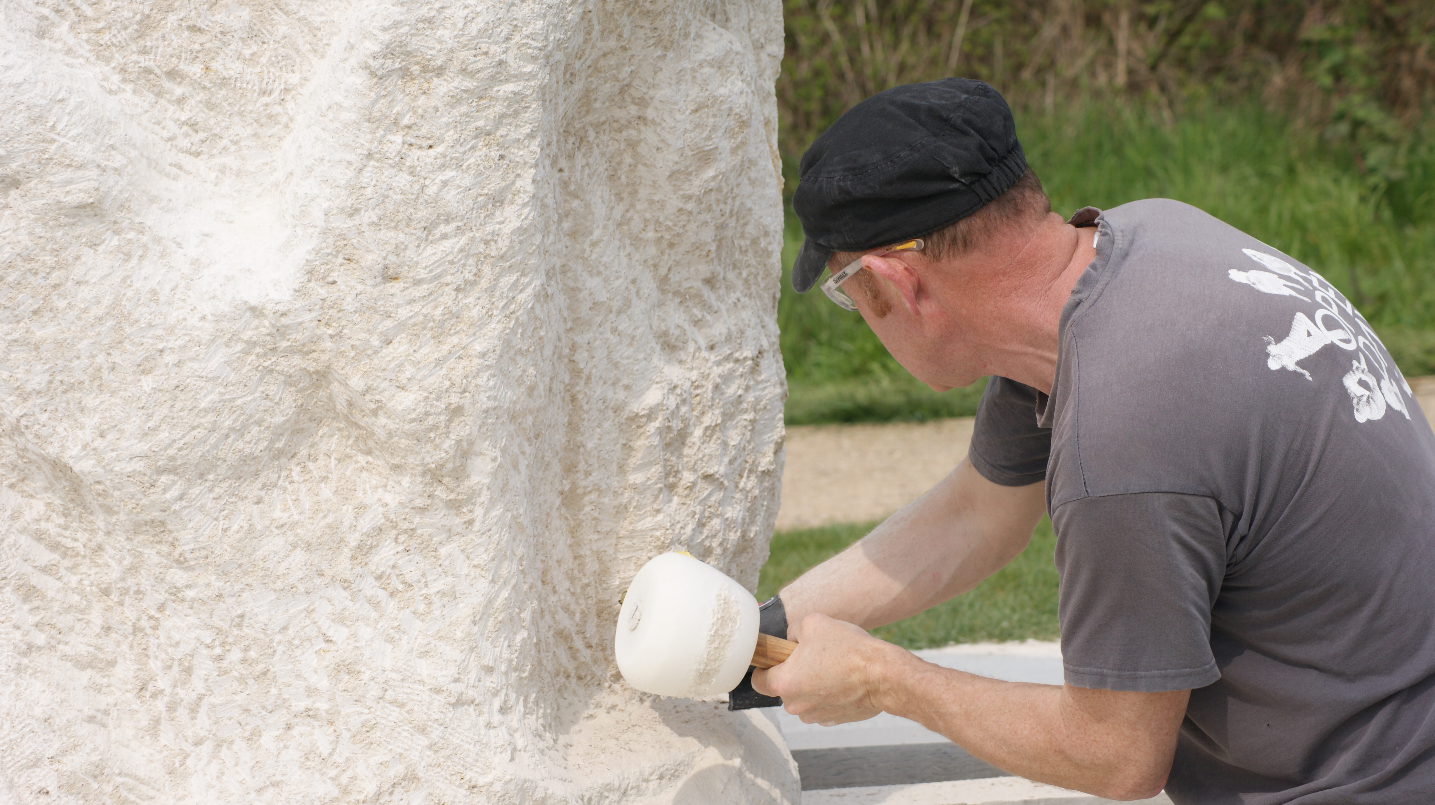
 30 degrees in the shade. Continuing to make progress into the end of the stone where much removal is required. Taking a break to ‘find’ another bird head at the very top, I added a hooked beak and within 5 minutes I had a pair of raptors mewing overhead. I’m pretty sure it was a coincidence…
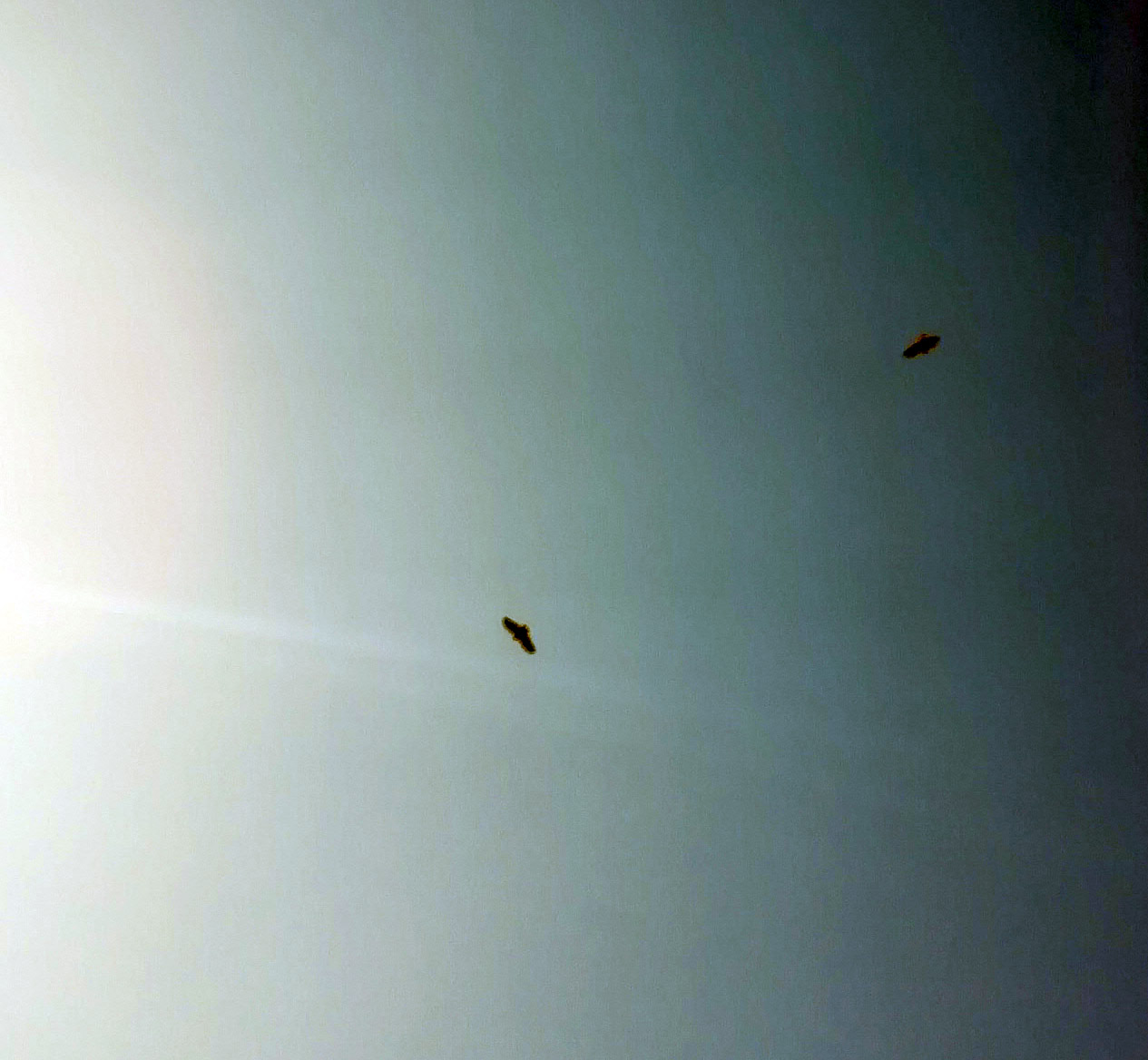


 Day 28: One of the comments from last session’s river nymphs alerted to Percy Shelley’s 1918 poem The Woodman and the Nightingale
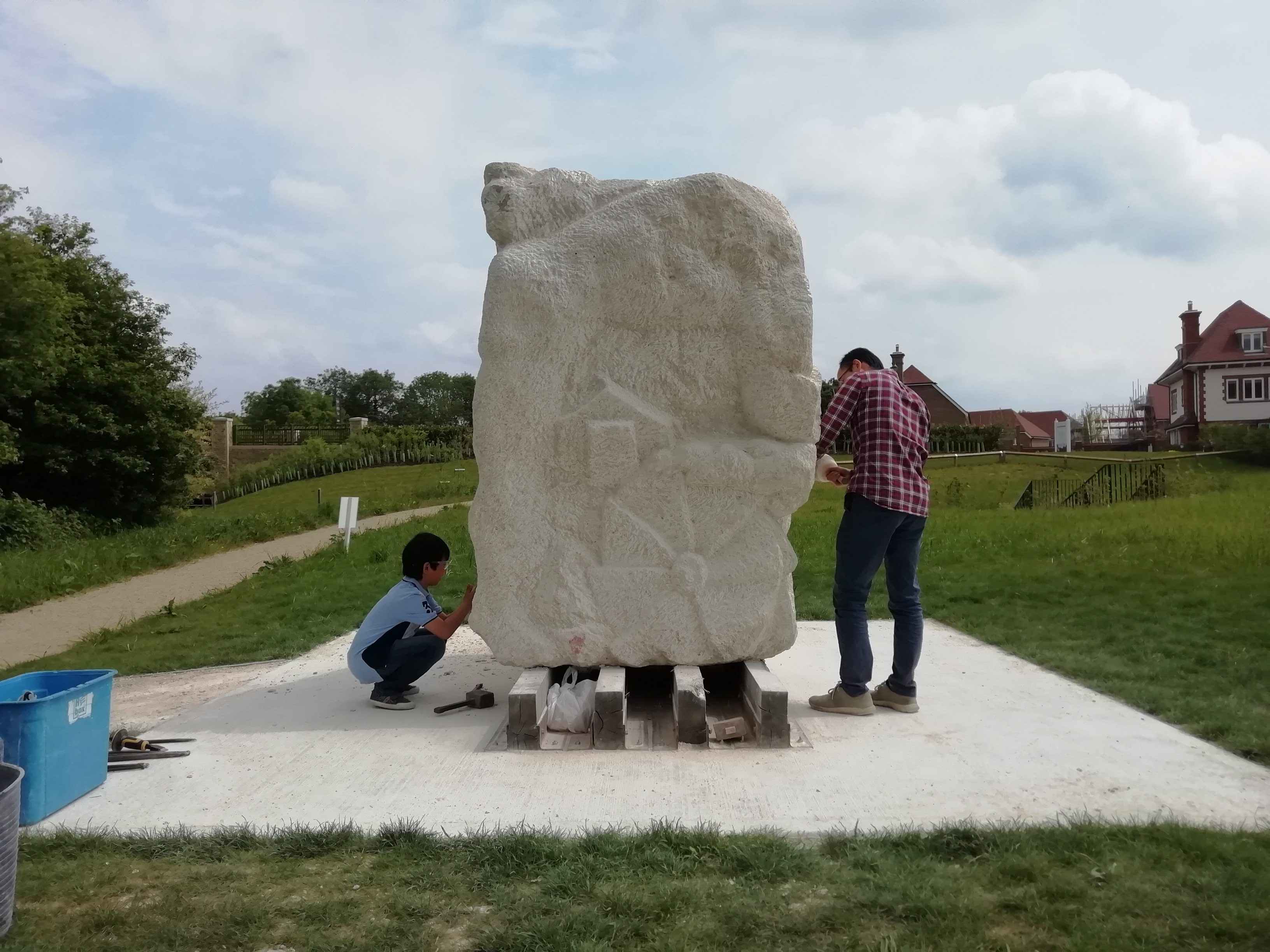


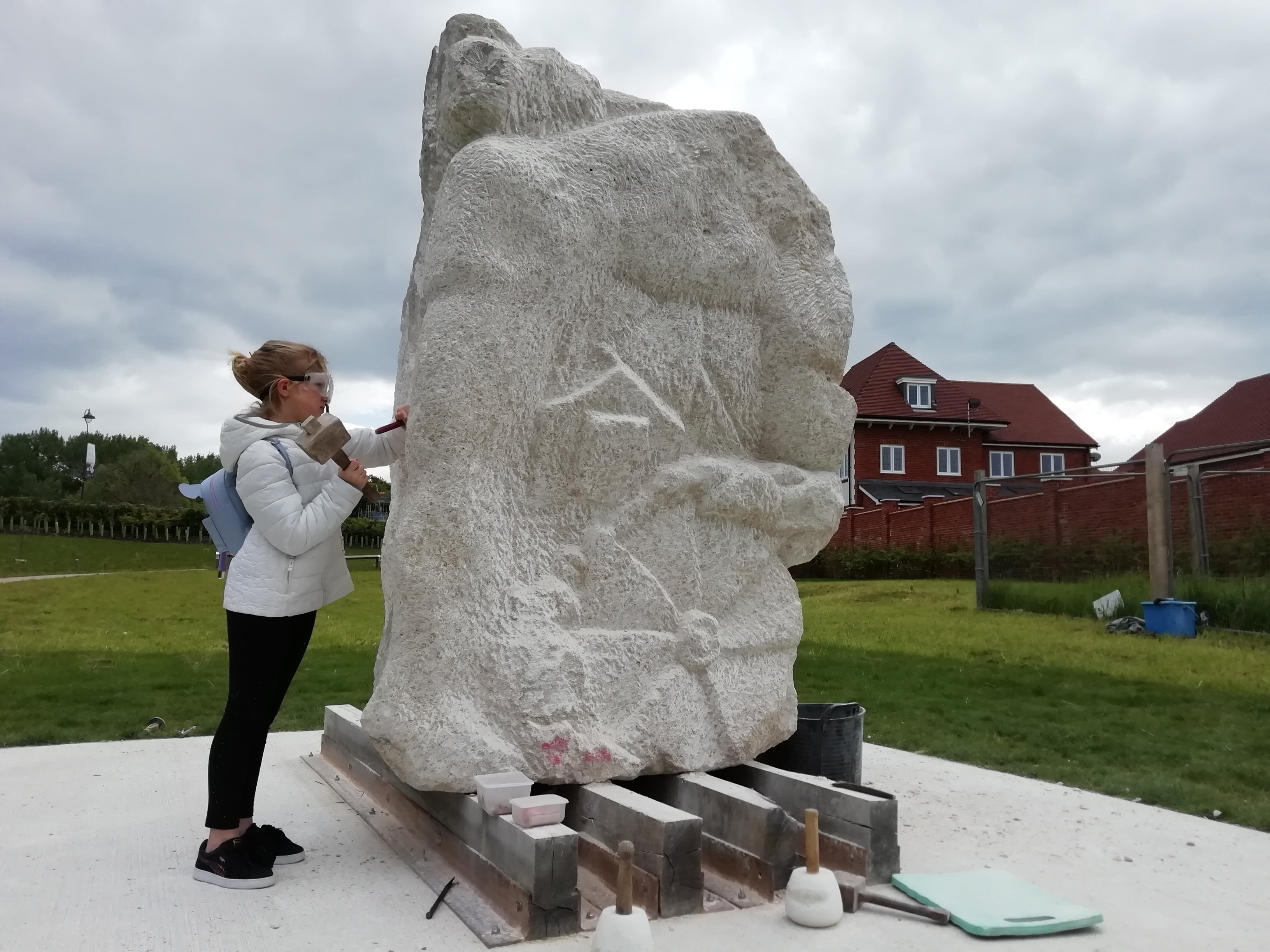


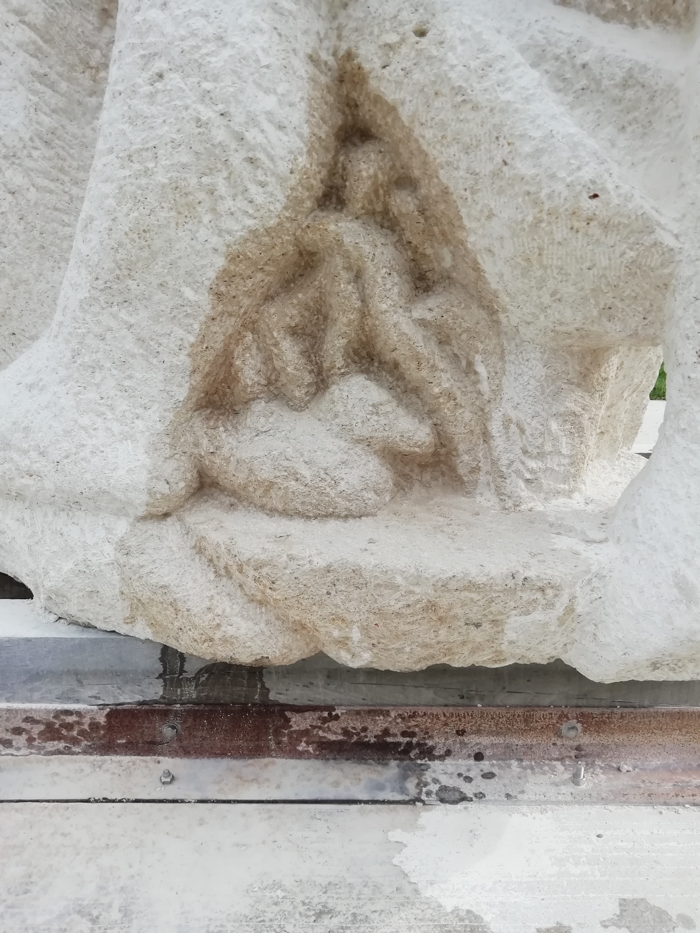
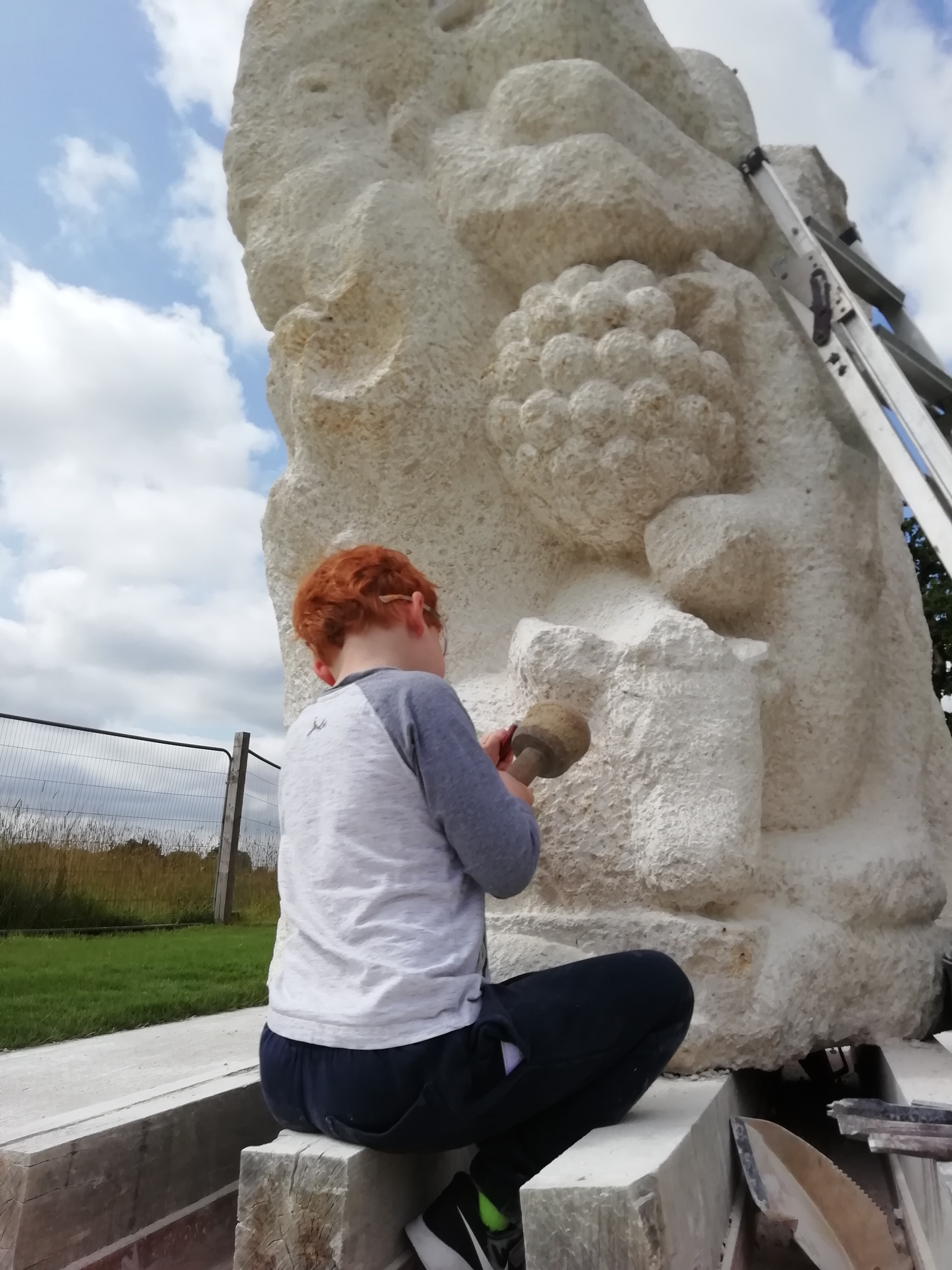
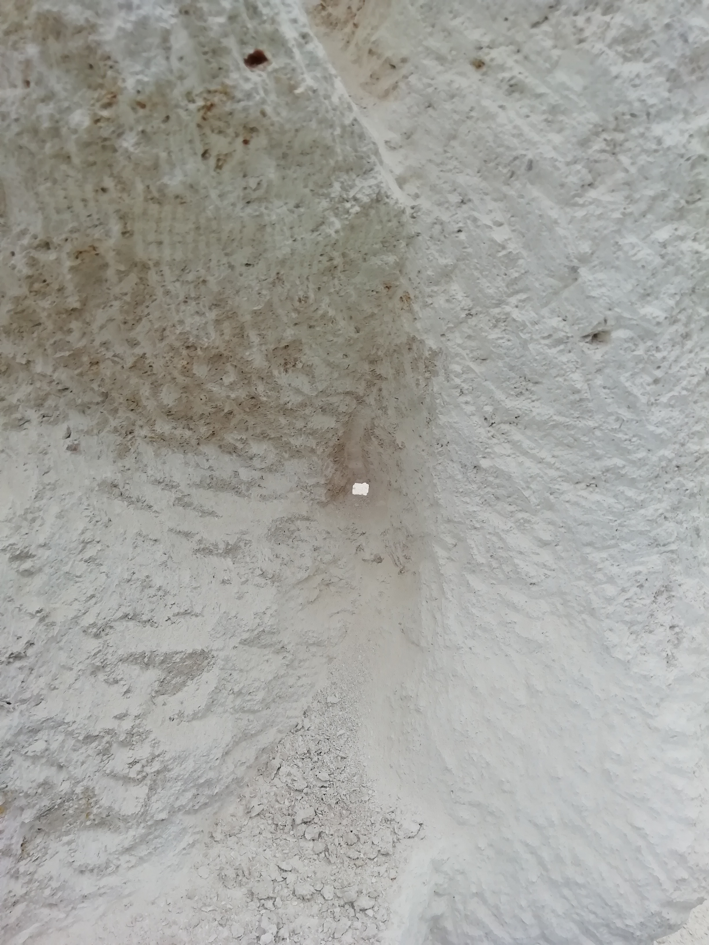
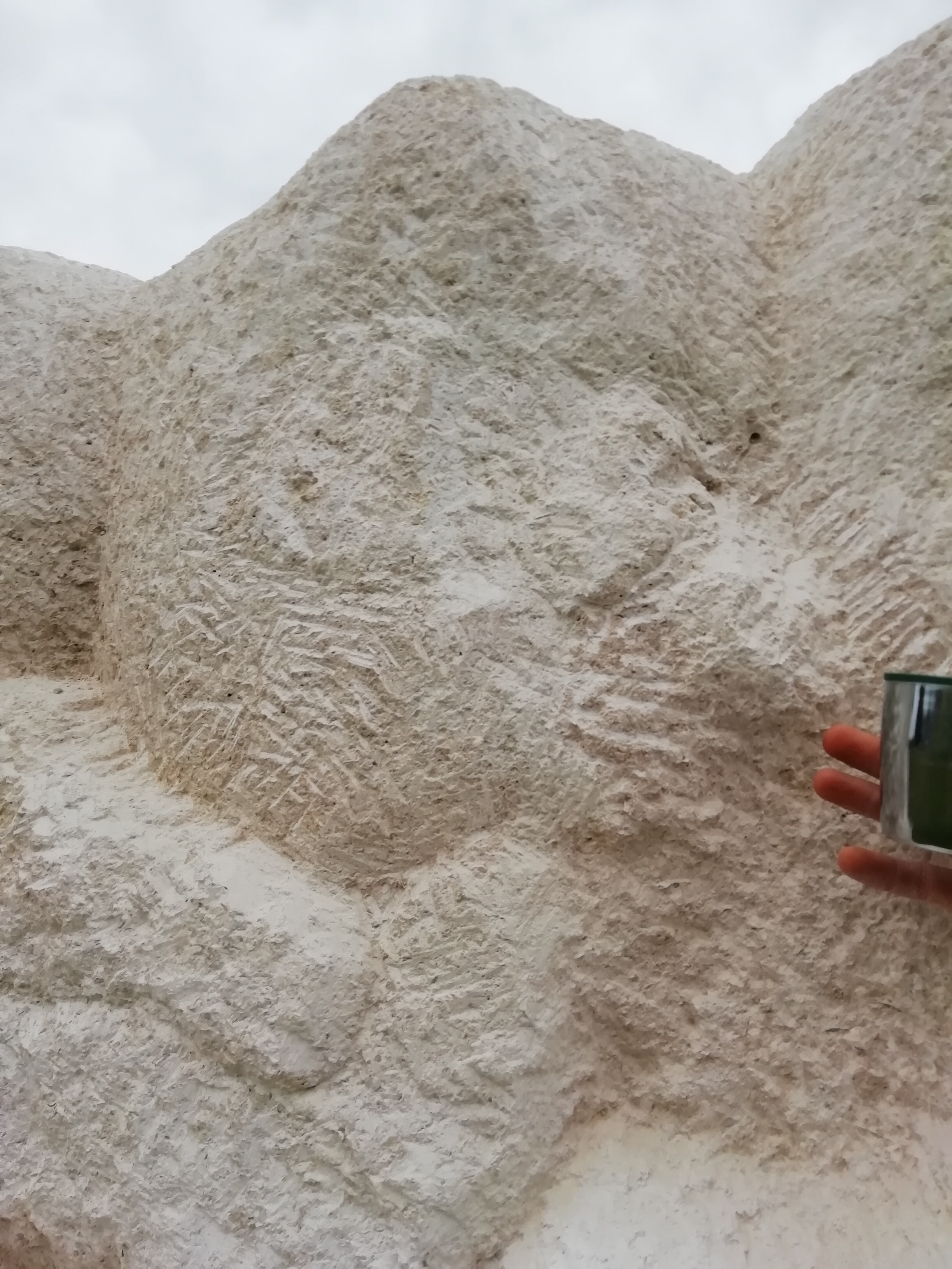
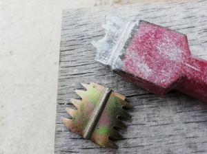
 Some of the final larger masses are being directly influenced by some of your marks, as per the relief arc below:


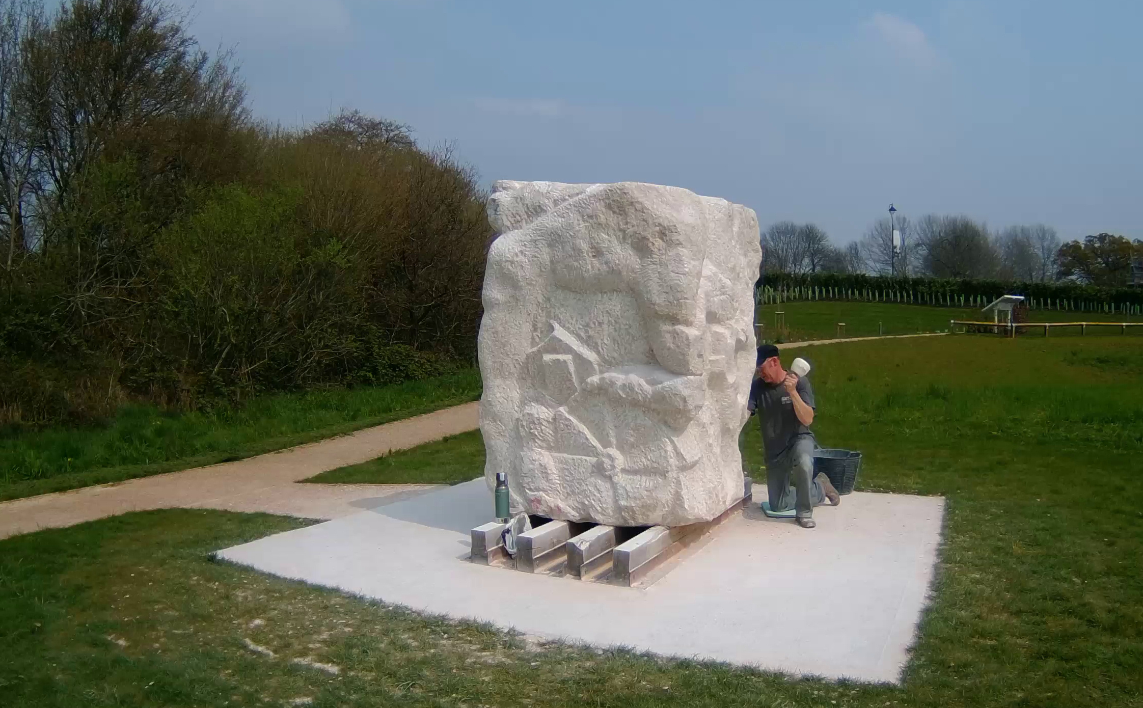
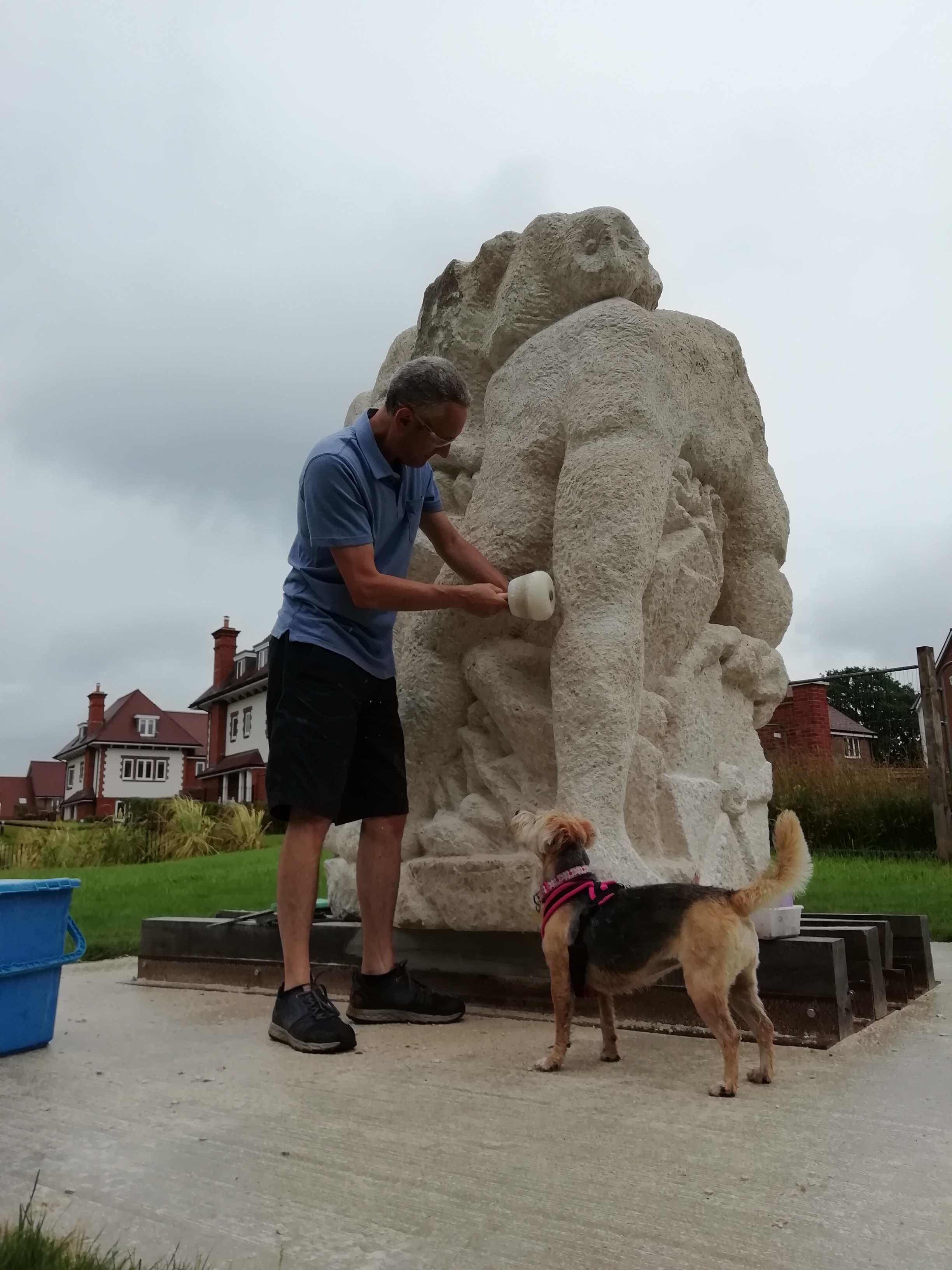
 A Sunday, yet nobody was out until clearing-up time. The wind was cutting and the few walkers out stopped at the interpretation panel and turned away.
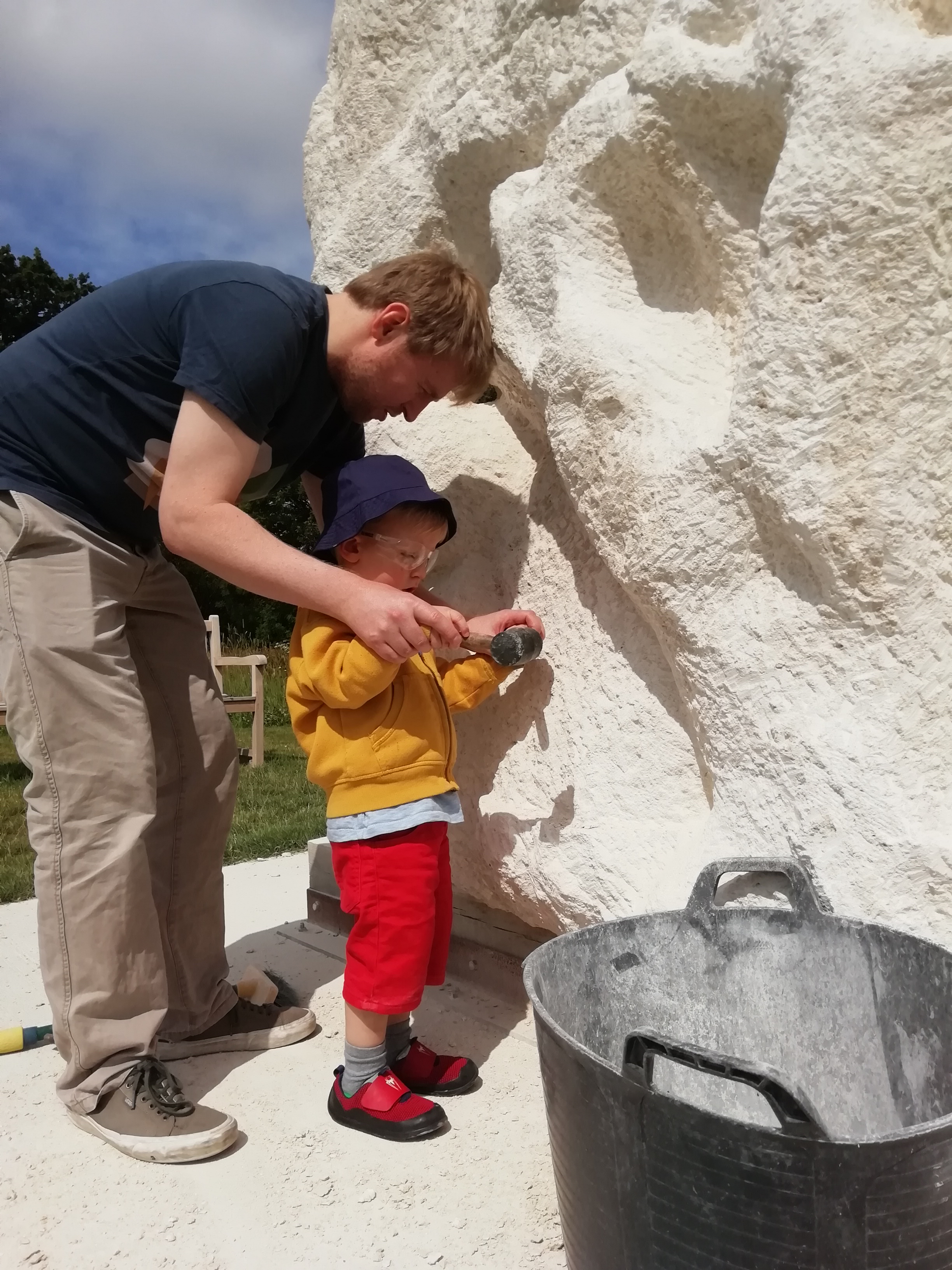
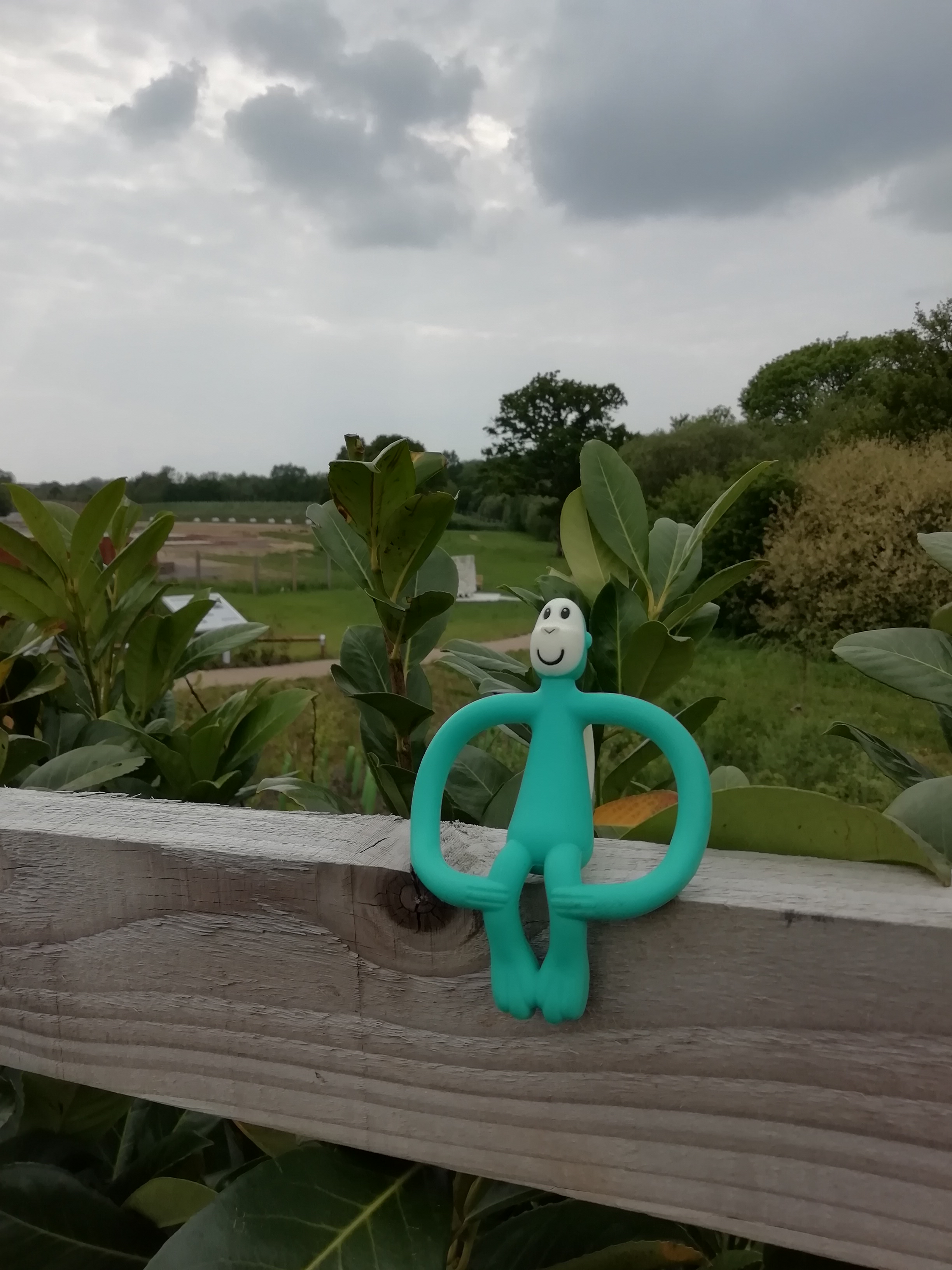
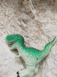 We had a small dinosaur eating stone chips today (I had tried to get said dinosaur to help putting the chips into the ‘food’ bucket…)
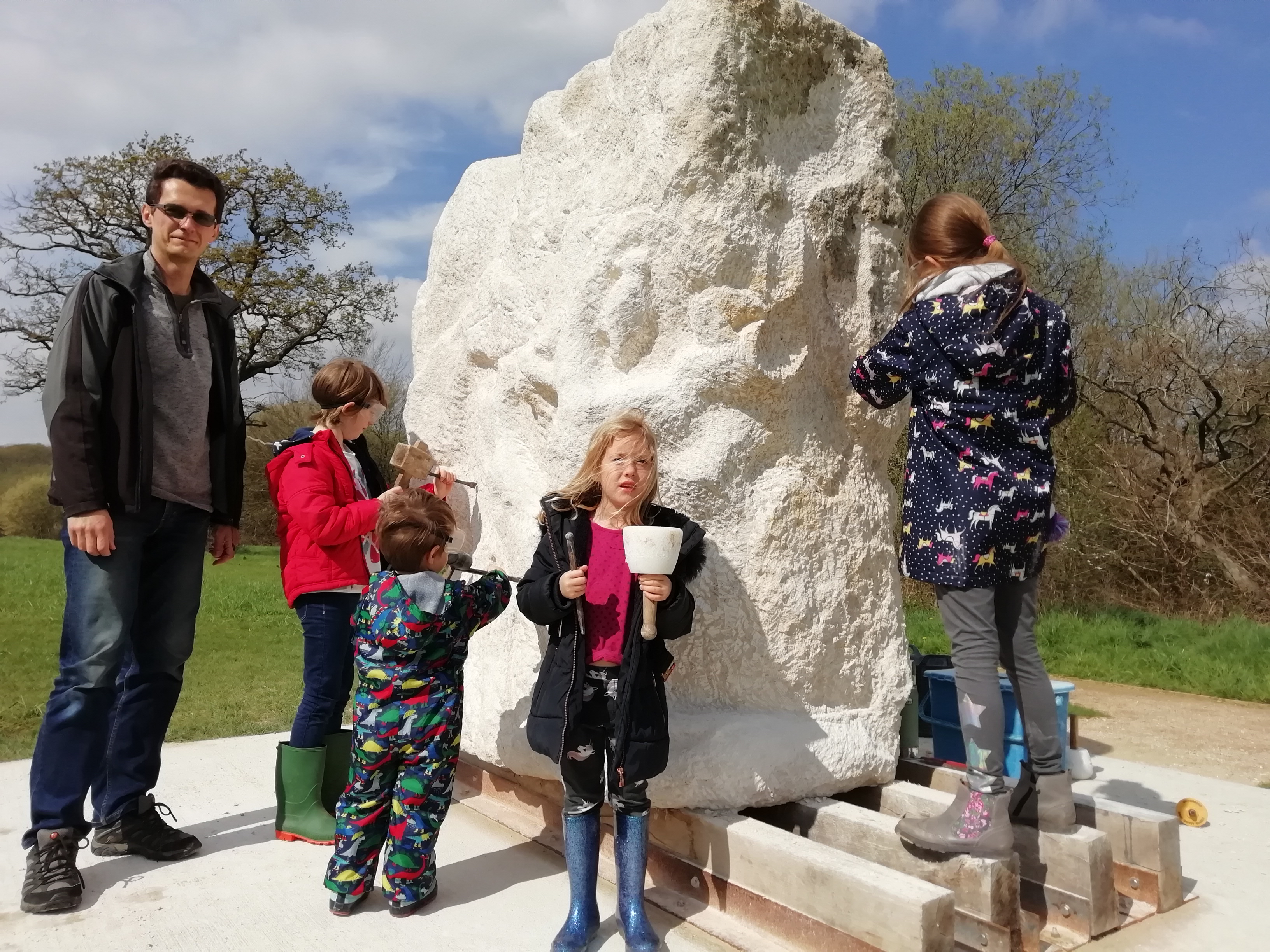


 The most recent session was disturbed by recurring noise near an ancient, neighbouring oak tree. I went to investigate and realised it was a dedicated bird involved in his own reductive process, parallel to mine. As a result, today’s carving has now fixed the presence of the tree form in our block.


